From Ag Tech "Toys" to Essential Mapping Technology

Published on
15 Jul 2021
Attend a farm show and you will find a crowd around the hottest ag technology toys. The latest farm drone, satellite imagery, and tech-driven mobile scouting capabilities are colorful and interesting. But, to today’s agronomist, they are more than just flashy new toys. Your agronomy team needs useable data to assist the farmer with seeding, applications, and more.
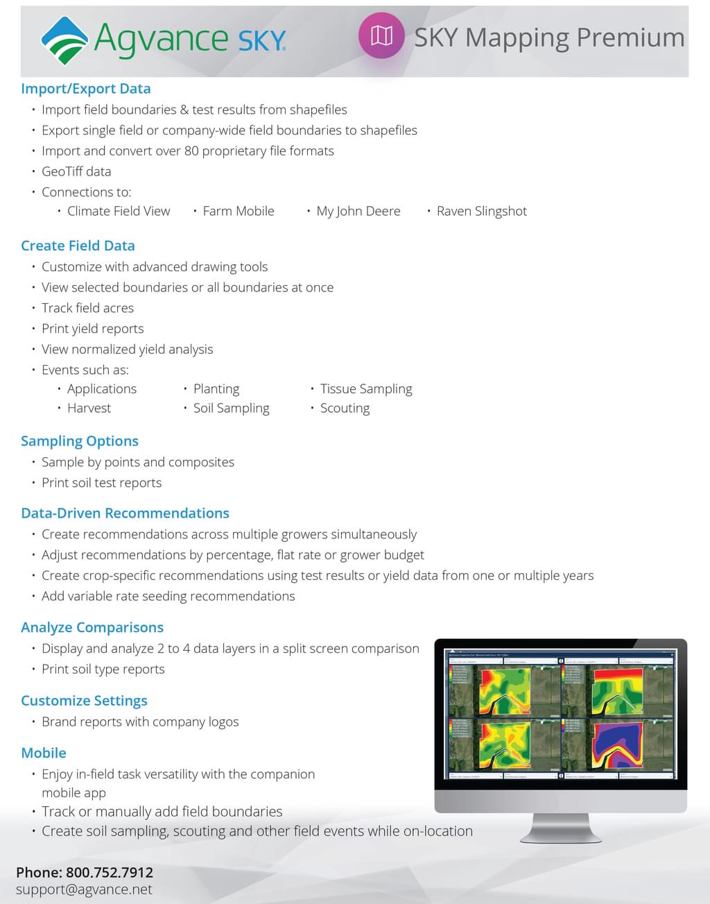
When selecting the right mapping software, consider if the program integrates mobile scouting reports, accesses digital imagery, imports shapefiles, utilizes boundary drawing, and organizes field soil sampling. Reporting capabilities are just as important. Tracking key field information is essential for today’s agronomists and ag retailers. Having the reporting tools to share the valuable collected data is equally important.
Demonstrate to the farmers you serve that you have sound decision making capability and can ultimately suggest the best agronomic recommendations. Review the key features of Agvance SKY Mapping. To learn more, request a demo by completing the form below.